Poster: A snowHead
|
|
|
|
Obviously A snowHead isn't a real person
Obviously A snowHead isn't a real person
|
|
|
|
Well, the person's real but it's just a made up name, see?
Well, the person's real but it's just a made up name, see?
|
|
@BobinCH, yeeew! Starting to look like ‘21 will get off to a good start!
|
|

|
|
|
|
You need to Login to know who's really who.
You need to Login to know who's really who.
|
|
|
|
Anyway, snowHeads is much more fun if you do.
Anyway, snowHeads is much more fun if you do.
|
|
|
|
You'll need to Register first of course.
You'll need to Register first of course.
|
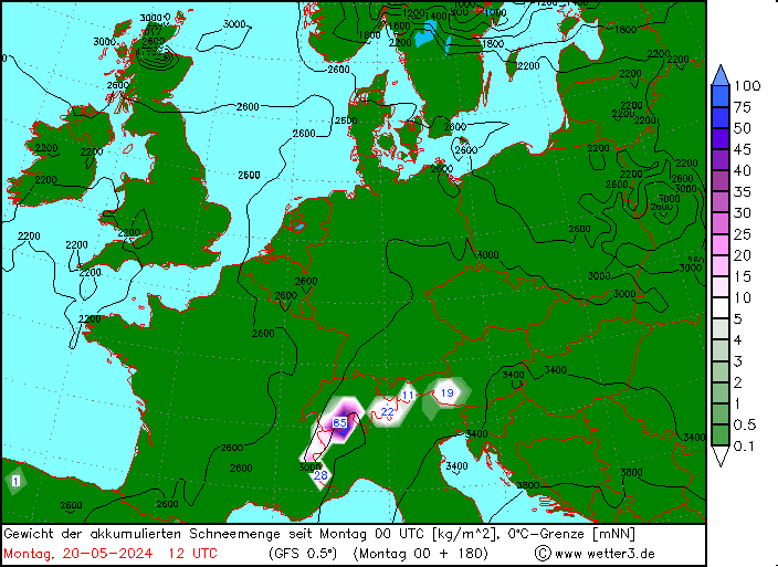
@davidof, not much expected tomorrow
WRF probably the best case with 10cm to 1600m on average in Haute Savoie

And a little rain to 2200m on Tues
|
|
|
|
|
|
|
|
| polo wrote: |
| And a little rain to 2200m on Tues |
Yeah not great in the short term here. Ski touring off the menu for the moment even if conditions are acceptable higher up.
|
|
|
|
|
|
|
|
Big snowfall (some records) this week in:
* US
* Japan
* Morocco

|
|
|
|
|
|
You'll get to see more forums and be part of the best ski club on the net.
You'll get to see more forums and be part of the best ski club on the net.
|
|
Pineapple flavored express coming through the PNW ATM. Dumping copious amounts of moisture in the form that weather folks refer to as rain. About 6cm's plus over the past 24 hours. Colder temps will come in after the atmospheric river vacates the area. Possible low pressure coming in bound off the North Pacific Ocean coming right about Christmas day. Might be a Boxing Day snow event for British Columbia and down South into the Cascades.
|
|
|
|
|
|
|
|
|
AO is going deep south in latest ens prognosis. Looks like the big picture with cold weather from Christmas Eve and to the start of the new year is here to stay for the Alps. Will probably see some good snowfall episodes for large areas. Same goes for Pyrenees. Warmer in Eastern Europe. This development might continue into the first weeks of January.
|
|
|
|
|
|
snowHeads are a friendly bunch.
snowHeads are a friendly bunch.
|
|
|
|
And love to help out and answer questions and of course, read each other's snow reports.
And love to help out and answer questions and of course, read each other's snow reports.
|
|
|
|
|
|
|
|
|
You know it makes sense.
|
|
|
|
Otherwise you'll just go on seeing the one name:
Otherwise you'll just go on seeing the one name:
|
@Jellybeans1000, with the trop already in favourable -AO, how do you see the link up with the strat evolving? If we see the classic downwelling of negative (easterly) wind anomalies from the strat towards the trop layer, I wonder how that will impact the AO.....hard to see it going any more negative than it already is, I mean there's only so much high pressure you can amass over the arctic.
So I suppose best case is a prolonged spell of the status quo (-AO)......worst case any downwelling might mess this up?
|
|
|
|
|
|
Poster: A snowHead
|
Thinking about my own question, this seems to be a trop led warming event (ie bottom up), so the entire airmass above us up to 30km high is forecast to have a net easterly windflow, there probably won't be any downwelling from an SSW.
Anyway back in the short term, I just checked this temp anomaly chart for the next 10 days, and it's surprisingly mild across most of europe, outside the alps and western coasts

(mild relative to the 20th-century average)
|
|
|
|
|
|
Obviously A snowHead isn't a real person
Obviously A snowHead isn't a real person
|
|
|
|
Well, the person's real but it's just a made up name, see?
Well, the person's real but it's just a made up name, see?
|
|
|
|
You need to Login to know who's really who.
You need to Login to know who's really who.
|
Rare hair ice found in Scotland.
Formed by fungus "breathing" out moisture in winter on dead wood.

|
|
|
|
|
|
Anyway, snowHeads is much more fun if you do.
Anyway, snowHeads is much more fun if you do.
|
|
Nice picture.......
|
|
|
|
|
|
You'll need to Register first of course.
You'll need to Register first of course.
|
|
Something of value posted by Whitegold?? 2020 really has been a screwed up year.
|
|
|
|
|
|
|
|
Brrrrr

|
|
|
|
|
|
|
|

Hauser Kaibling
|
|
|
|
|
|
You'll get to see more forums and be part of the best ski club on the net.
You'll get to see more forums and be part of the best ski club on the net.
|
This is what -50c / -60f currently looks like (in Russia).
May hit -70c next week.

|
|
|
|
|
|
|
|
Really?  I doubt you’d be out walking the dog in your jeans and a normal winter jacket if it was -50C. I doubt you’d be out walking the dog in your jeans and a normal winter jacket if it was -50C.
|
|
|
|
|
|
snowHeads are a friendly bunch.
snowHeads are a friendly bunch.
|
Russians love the deepfreeze.
It is how they beat Austria and Germany on the Eastern Front of WW2 
|
|
|
|
|
|
And love to help out and answer questions and of course, read each other's snow reports.
And love to help out and answer questions and of course, read each other's snow reports.
|
|
|
|
|
|
|
|
|
You know it makes sense.
|
Snowing in Green Bay, WI during the NFL Packers vs Titans. Love to watch a game in a snowstorm! 
High pressure developed on Sunday for the Pacific West Coast, which will hang around through Tuesday, and then a storm will push in off the Coast near Vancouver Island, BC, and work its way down into Washington North Cascades during Wednesday early morning. I would expect some storm skiing on Wednesday.
A weak system should also provide a dust up for the Tahoe resorts late Wed./Thursday.
Colorado will see snow develop on Monday through Tuesday. Storm is coming from the SW, so Telluride, Wolf Mtn. Purgatory (Durango) could do well with a foot or more.
|
|
|
|
|
|
Otherwise you'll just go on seeing the one name:
Otherwise you'll just go on seeing the one name:
|
The negative AO situation that we have seen for a while seems to last into 2021 as expected. A high will build up over North Atlantic / Scandinavia in the beginning of the New Year, while the low activity will forced on a more southern track. It seems that the Southern Alps once again might be the snow winner in the first half of January. Cold weather in Western Europe will continue deep into January.
It also seems pretty certain that we will have an sudden stratospheric warming in the beginning of January. Still some uncertainty whether it will be a split with one over Europe and one over NA, or one displacement from NA to Europe. The latter one is not the most favourable for cold and dry European weather. Anyhow, might start to see the effects from around 15th of January.
Southern Alps might see an epic winter this year. What a shame that it cannot be fully utilized.
|
|
|
|
|
|
Poster: A snowHead
|
|
|
|
Obviously A snowHead isn't a real person
Obviously A snowHead isn't a real person
|
GFS models indicate a low pressure well off in the Pacific is marching toward the Northern West Coast. If that path continues, it should arrive after New Years and is starting to shape up to bring another round of snow to British Columbia and the North/Central Cascades in Washington and down into the Southern Cascades of Oregon. Will keep an eye on this as it has potential to bring in a series of storms into the first week of January.
Meanwhile, folks in Colorado should see snow falling in SW CO today, and the storm will make its way across the state and bring a nice refresh to the Central Mtns and toward the Front Range resorts. Could be a really nice powder day for most ski areas in CO on Tuesday.
|
|
|
|
|
|
Well, the person's real but it's just a made up name, see?
Well, the person's real but it's just a made up name, see?
|
|
|
|
You need to Login to know who's really who.
You need to Login to know who's really who.
|
|
The snowfall figures that have been put out be the various weather services for the last few days have been pretty much F.I. for the French Alps but the Massif Central suffered a snowmaggedon event with people stuck for hours on the A75 motorway that bisects the region after local authorities failed to control HGV traffic on the road which then blocked the highway.
|
|
|
|
|
|
Anyway, snowHeads is much more fun if you do.
Anyway, snowHeads is much more fun if you do.
|
| davidof wrote: |
| The snowfall figures that have been put out be the various weather services for the last few days have been pretty much F.I. for the French Alps |
Not the ideal thread for conditions updates imv, but you leave me little choice......40cm since Sunday in PdS / GM

From today below Tete de Bostan, about 1600m
|
|
|
|
|
|
You'll need to Register first of course.
You'll need to Register first of course.
|
More snow headed for Ost Tirol and the Dolomites on Friday/Saturday.

|
|
|
|
|
|
|
|
|
|
|
|
|
To roundoff 2020...
The world's hottest ever year on record.
Global boiling is really taking hold this century.

|
|
|
|
|
|
You'll get to see more forums and be part of the best ski club on the net.
You'll get to see more forums and be part of the best ski club on the net.
|
@Whitegold, your graph shows 2020 as cooler than 2016
Though I'm certainly not denying that the world is warming up.
|
|
|
|
|
|
|
|
Yikes! Stay safe out there people.
|
|
|
|
|
|
|
|