 Poster: A snowHead
|
Hi there
Booked to fly into Geneva this Saturday to spend the week in Tignes. Starting to get seriously concerned that there will be insufficient snow and thinking about contingency plans. Have a hire car. Where is there that's accessible from GVA that currently has decent snow?
|
|

|
|
|
|
 Obviously A snowHead isn't a real person
|
|
|
|
 Well, the person's real but it's just a made up name, see?
|
|
Go to Cervina in Italy only 2hrs from Geneva through the Mont Blanc tunnel currently best snow in Alps or go to Zermatt or Saas fee if you can afford it .
|
|

|
|
|
|
 You need to Login to know who's really who.
|
|
It's snowing in Tignes and will continue to do so for the next few days. Apparently.
|
|

|
|
|
|
 Anyway, snowHeads is much more fun if you do.
|
| Rishie wrote: |
| It's snowing in Tignes and will continue to do so for the next few days. Apparently. |

Wish it were
|
|

|
|
|
|
 You'll need to Register first of course.
|
|
Cervinia. Only a 2 hour drive as @Rob Mackley, mentioned.
|
|

|
|
|
|
|
|
Cervinia. Even Valtournenche, same ski are but lower, has got perfect conditions. See this trip report from last weekend.
http://www.skiforum.it/forum/showthread.php?t=78447
Or paste the link into translate.google.com
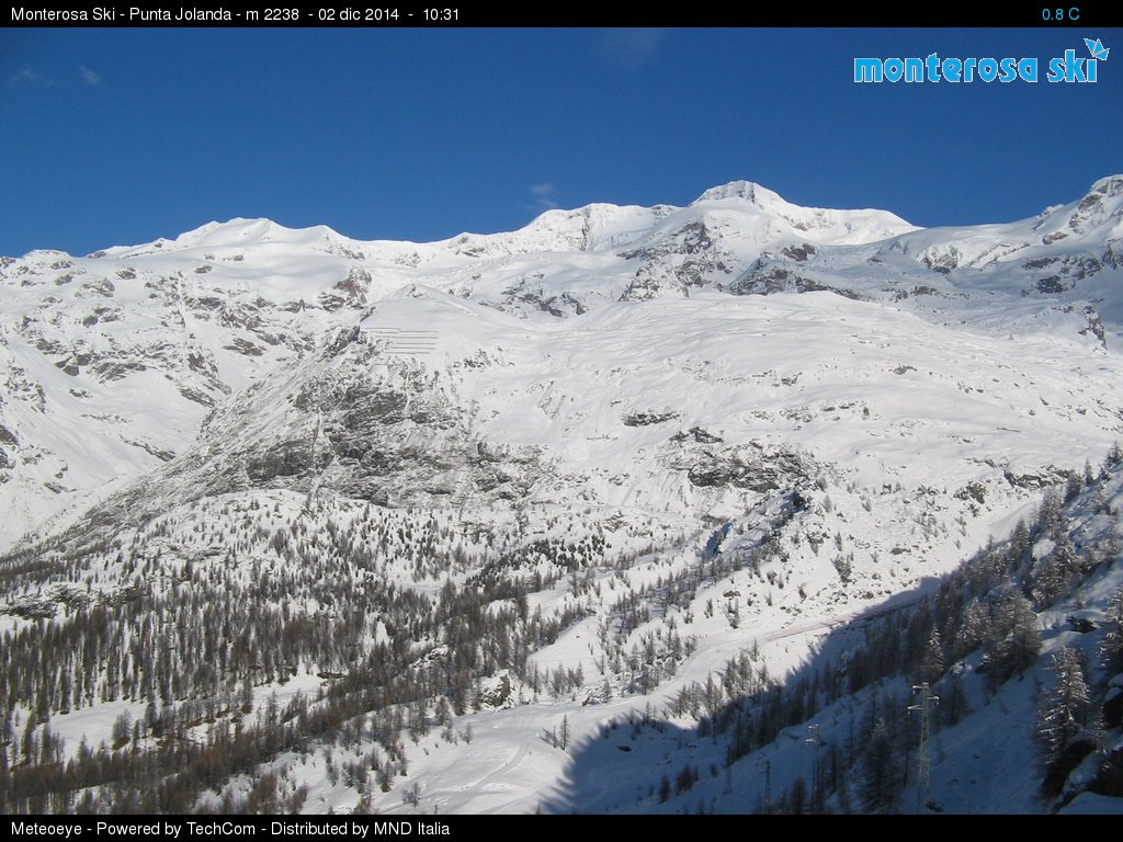
Amount of snow @ Salette, 2250 metres.

|
|

|
|
|
|
|
|
I'm in the same predicament, flights to Geneva on the 11th.
I was on an Italian site yesterday that said it had started to rain in Cervinia!
translate.google.co.uk/translate?hl=en&sl=it&u=http://www.skiforum.it/forum/forumdisplay.php%3Ff%3D23&prev=search
I'd be very interested to hear how you get on from this Saturday as we can drive to anywhere from Geneva and probably don't need to decide until this time next week.
|
|

|
|
|
|
 You'll get to see more forums and be part of the best ski club on the net.
|
|
Went to Zermatt. Not fully open but enough to make it worthwhile. Only problem is there's hardly anyone on the slopes so no queues=legs don't last as long.
|
|

|
|
|
|
|
|
Cervinia valley is 2050 metres. First floor is on 2500. Second is on 2900. Top is 3500. With the international skipass you get up to 3900.
If Cervinia has a problem with too low snowline, then any other resort has too.
If there is a "climate challenge" in Cervinia, it's the wind.
|
|

|
|
|
|
 snowHeads are a friendly bunch.
|
|
@Onnem, yeah but Cervinia postes are uber-dull.
|
|

|
|
|
|
 And love to help out and answer questions and of course, read each other's snow reports.
|
Conditions looking good in Gressoney
http://www.skiforum.it/forum/showthread.php?t=8215&page=542

Weather forecast, google translated IT -> ENG
SUMMARY UNTIL TUESDAY December 9, 2014:
Wednesday, December 3: showers and thunderstorms early in the central regions, Emilia-Romagna and the north of Sardinia, in the gradual transfer to the rest of the north of Italy, especially from the evening, with the limit of snow over the 1300-1500m Alps and the peaks of the central Apennines. At the time still unreliable south of Campania, Puglia and Molise north with showers or thunderstorms, variable elsewhere with large sunny intervals. Lightly decreasing temperature in the north and center, stationary in the south.
Thursday, December 4: unstable with showers and thunderstorms in the north and center, the limit of snow over the Alps 1300-1400m, 1400-1500m Alpine foothills. Variable with isolated showers in the south but also large sunny intervals, especially on the extreme regions. Temperatures nearly unchanged.
Friday, December 5: recent rains to the north, variable time at the center with scattered rain or rain showers, but also some sunny intervals; best time in the south. Lightly increasing temperature, especially in the south.
Saturday, December 6: a pulse cold descend from central Europe renewing conditions of instability in the North with rainfall even snow at high altitude over the 800-1000m, instability arriving also at the center with scattered showers and thunderstorms in the evening, waiting time to the south with clouds scattered and partly cloudy. Drop in temperatures in the north, marked the Alps.
Sunday, December 7: improves the north, but with residual thickening and rather cold climate, the center unstable even rain and snow showers over the 1000-1200m Apennines, south accentuation of instability with isolated showers or thunderstorms short, again temperatures in gradual decline.
Monday, December 8: the north beautiful sunny day but chilly, especially in the Alps, in the center with large improvement cloudy, south variable cloudiness with showers residues but with a tendency to improvement.
Tuesday, December 9: possible new deterioration in the North for the arrival of another pulse from the northwest with precipitation of Liguria, Alps and Triveneto, to be confirmed.
|
|

|
|
|
|
|
|
|
@Onnem, I skied down to Cervinia yesterday along piste 7. Was fantastic snow at the top and pretty good all the way down until about 500 metres from the bottom when it became hard as concrete. Didn't have enough time to ski above plan maison but it looked good from the lift. Snow on KM glacier is excellent.
|
|

|
|
|
|
|
|

