 Poster: A snowHead
|
|
@Game of Snows, La depressione ligure
|
|

|
|
|
|
Obviously A snowHead isn't a real person
Obviously A snowHead isn't a real person
|
Daughter and Son in Law made it into Cervinia this morning  This was doubtful yesterday. My daughter says there is more snow than she has ever seen. Not suprising I know! This was doubtful yesterday. My daughter says there is more snow than she has ever seen. Not suprising I know!
|
|
|
|
|
|
Well, the person's real but it's just a made up name, see?
Well, the person's real but it's just a made up name, see?
|
|
|
|
You need to Login to know who's really who.
You need to Login to know who's really who.
|
|
|
|
Anyway, snowHeads is much more fun if you do.
Anyway, snowHeads is much more fun if you do.
|
|
|
|
You'll need to Register first of course.
You'll need to Register first of course.
|
|
Holeee f....or goodness sake!
|
|
|
|
|
|
|
|
|
Every now and then you need to watch something like that, to avoid complacency. That is not something you'd want to be caught up in.
|
|
|
|
|
|
|
|
That is an amazing video. Fair play to the geezer holding the camera - he held his nerve too... (joke)
The power of that is astonishing - like a river at first and then almost glacial.
OT - the Rd'E is picking up strength tonight judging by the radar
|
|
|
|
|
|
You'll get to see more forums and be part of the best ski club on the net.
You'll get to see more forums and be part of the best ski club on the net.
|
|
Bloody hell! How on earth was that filmed?
|
|
|
|
|
|
|
|
|
@Hurtle, it's a webcam
|
|
|
|
|
|
snowHeads are a friendly bunch.
snowHeads are a friendly bunch.
|
|
|
|
And love to help out and answer questions and of course, read each other's snow reports.
And love to help out and answer questions and of course, read each other's snow reports.
|
SLF outlook for Switzerland.
”Weather forecast through Monday, 08.01.2018
In northern regions, skies will frequently be overcast and a small amount of precipitation could extend from the south as far as the western and central sectors of the Main Alpine Ridge. In the eastern regions, there will be foehn-induced bright intertvals. In southern regions, skies will be heavily overcast. On Sunday night, the precipitation is expected to intensify and during the daytime on Monday the precipitation will be heavy and persistent in the Upper Valais sector of the Main Alpine Ridge more than anywhere else. The snowfall level will be between 1400 and 1800 m.
Fresh snow
Between Sunday evening and Monday evening, above approximately 2000 m:
Upper Valais sector of the Main Alpine Ridge from the Monte Rosa region into the Binntal: 50 to 80 cm;
remaining sectors of the Main Alpine Ridge from Great St. Bernard into the Gotthard region, lower valleys of Visp, northwestern part of Ticino: 20 to 40 cm;
Aletsch region, northern Goms, central Valais: 10 to 20 cm;
the bordering regions, only a few centimeters;
in other regions of Switzerland, no snowfall.
Temperature
At midday at 2000 m, +4 °C in northern regions and 0 °C in southern regions.
Wind
Winds will be blowing at moderate to strong velocity, at storm strength in high alpine regions, from southerly to southeasterly directions.
Outlook through Wednesday, 10.01.2018
Tuesday
In northern regions, skies will frequently be overcast and above approximately 1200 m a small amount of snowfall is possible. A strong southerly foehn wind will be blowing. The avalanche danger is not expected to change significantly.
In southern regions, the precipitation is expected to persist. Snowfall is anticipated above 1000 to 1400 m also in the eastern regions on the southern flank of the Alps. The avalanche danger could well increase to level 4 (high) in the other regions of the south.
Wednesday
In northern regions, skies will be variably cloudy accompanied by bright intervals. The avalanche danger will diminish.
In southern regions, a small additional amount of snowfall is expected above approximately 900 m during the morning. The danger of naturally triggered avalanches is expected to decrease. However, for backcountry skiers and snowboarders in outlying terrain, the avalanche situation will continue to be critical.”
|
|
|
|
|
|
|
|
|
|
|
You know it makes sense.
|
Genepi
Many thanks! I will get searching!
|
|
|
|
|
|
Otherwise you'll just go on seeing the one name:
Otherwise you'll just go on seeing the one name:
|
GFS12z goes for an unsettled and cold start to the second half of July.
Overcast flat light for much of day in Saalbach. But most of the crowds have gone. Off piste starting to dry out. Not all that, but not as sodden.
|
|
|
|
|
|
Poster: A snowHead
|
| nozawaonsen wrote: |
GFS12z goes for an unsettled and cold start to the second half of July.
Overcast flat light for much of day in Saalbach. But most of the crowds have gone. Off piste starting to dry out. Not all that, but not as sodden. |
Good news! Assuming you meant January though 
|
|
|
|
|
|
Obviously A snowHead isn't a real person
Obviously A snowHead isn't a real person
|
|
@Minion1980, yep!
|
|
|
|
|
|
Well, the person's real but it's just a made up name, see?
Well, the person's real but it's just a made up name, see?
|
|
Also watch out for Saharan dust Monday and Tuesday the winds are going to be scooping it up then drawing it up across Europe. Can turn the slopes an odd pink/orange color...
|
|
|
|
|
|
You need to Login to know who's really who.
You need to Login to know who's really who.
|
18z GFS develops this from mid month.

And keeps cold temperatures and snow for the next week or so. At that range there really is no point speculating on the details, but it does look like there could be more interesting weather on the way!
|
|
|
|
|
|
Anyway, snowHeads is much more fun if you do.
Anyway, snowHeads is much more fun if you do.
|
|
3b meteo must use gfz, it has mental snow for the dolomites on the 16th. FI though at the moment.
|
|
|
|
|
|
You'll need to Register first of course.
You'll need to Register first of course.
|
|
|
|
|
|
| nozawaonsen wrote: |
18z GFS develops this from mid month.
And keeps cold temperatures and snow for the next week or so. At that range there really is no point speculating on the details, but it does look like there could be more interesting weather on the way! |
That's the second time a similar chart has appeared for next weekend. Something brewing?
|
|
|
|
|
|
|
|
|
follow
|
|
|
|
|
|
You'll get to see more forums and be part of the best ski club on the net.
You'll get to see more forums and be part of the best ski club on the net.
|
Storm raging on French Italian border reaching up into Switzerland. That should start to calm through tomorrow passing through the Dolomites though less intense.
Once that’s passed it looks like a calmer sunnier week, though it could take a day or two for resorts hit hardest to brush themselves down. Avalanche risk is going to be very high in parts of the SW Alps for a few days. Which could cause problems as people are tempted out once the sun comes out.
Temperatures dropping through the week and as we get to mid month it looks like more unsettled weather returns.
|
|
|
|
|
|
|
|
|
|
|
snowHeads are a friendly bunch.
snowHeads are a friendly bunch.
|
|
|
|
And love to help out and answer questions and of course, read each other's snow reports.
And love to help out and answer questions and of course, read each other's snow reports.
|
France is looking good at mid to high altitude.
But France badly needs new snowfall below ~1500m.
Slopes starting to look very green at some of the lower resorts, like Chapelle d'Abondance at ~1100m.
|
|
|
|
|
|
|
|
France is looking good at all altitudes.
Plenty of snow at all levels, even where it rained last week.
Slopes looking very white even at the lower resorts, like Chapelle d'Abondance at ~1100m. Webcam link here: http://m.webcam-hd.com/la-chapelle/braitaz
|
|
|
|
|
|
You know it makes sense.
|
Lol.
Half the valley is green.
In the middle of Winter.
|
|
|
|
|
|
Otherwise you'll just go on seeing the one name:
Otherwise you'll just go on seeing the one name:
|
@Whitegold, there's a thing called slope aspect. Many French ski areas, for example the Arly Valley, regularly see one side of the valley green and the other covered in well covered slopes and happy skiers. Aspect affects the geography of human settlements too. French has words for the sunny and shady sides of the valley. 
|
|
|
|
|
|
Poster: A snowHead
|

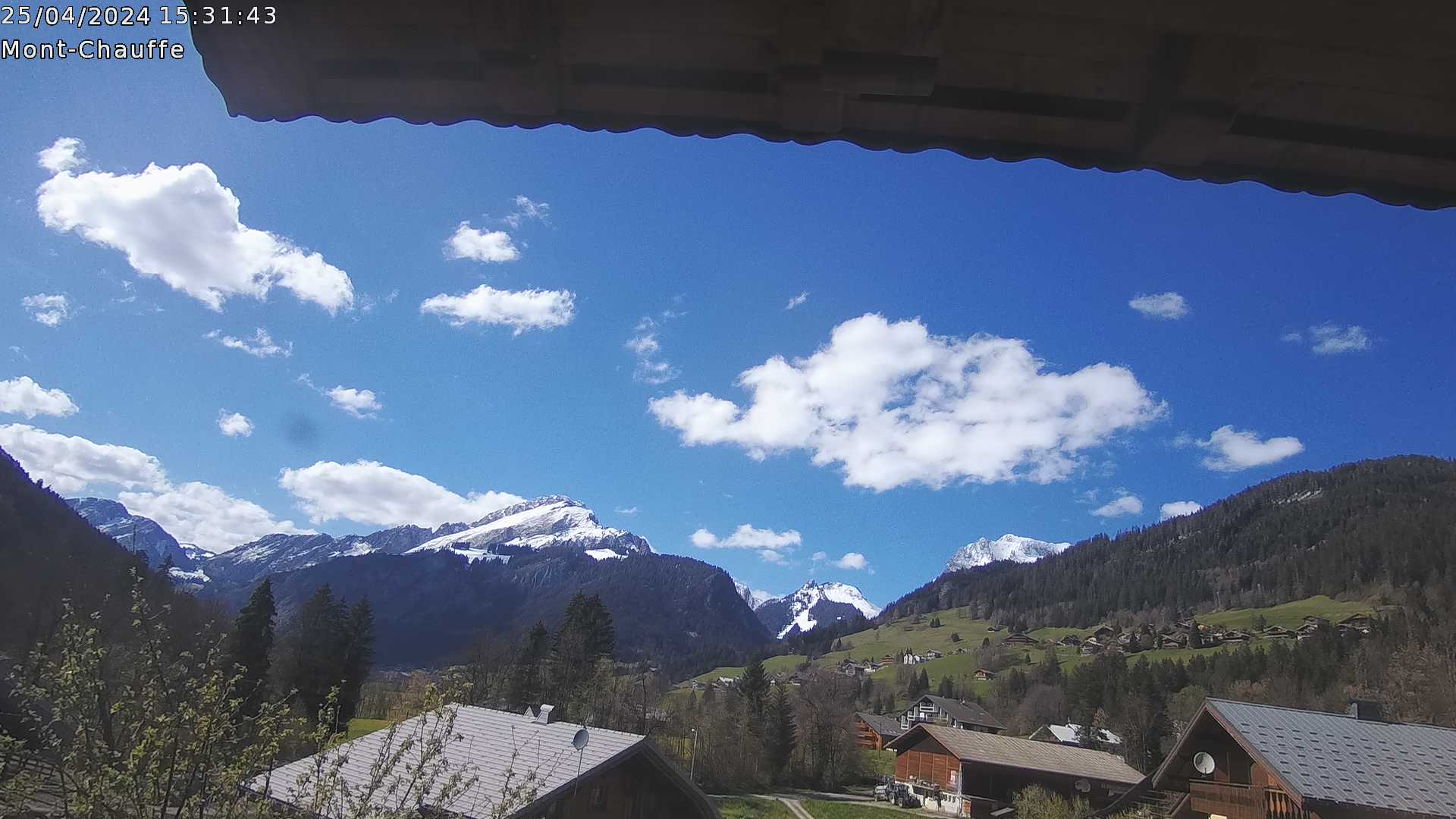
alternative view
|
|
|
|
|
|
Obviously A snowHead isn't a real person
Obviously A snowHead isn't a real person
|
|
|
|
Well, the person's real but it's just a made up name, see?
Well, the person's real but it's just a made up name, see?
|
12z GFS seems to have the Föhn finishing a day earlier (Tuesday night), for the NE Alps anyway.
Which is nice.
And it hasn't been as bad as expected. Seen a lot worse this time of year.
|
|
|
|
|
|
You need to Login to know who's really who.
You need to Login to know who's really who.
|
|
|
|
Anyway, snowHeads is much more fun if you do.
Anyway, snowHeads is much more fun if you do.
|
|
First time for me skiing on a black flag day in Val d’Isère. Flipping heck there’s a lot of snow here!
|
|
|
|
|
|
You'll need to Register first of course.
You'll need to Register first of course.
|
Plenty more snow to come in Zermatt.
Here’s SLF’s outlook.
”Weather forecast through Tuesday, 09.01.2018
In the south the precipitation will persist; it will be very heavy and abundant during the night in particular. Snow will fall in the eastern regions on the southern flank of the Alps as well. The snowfall level will drop to 800 m in the south. The north will be frequently cloudy with light snowfall above approximately 1200 m. In the east the foehn wind will persist in the morning and give rise to bright spells.
Fresh snow
From Monday evening until Tuesday evening above approximately 1800 m:
Main Alpine ridge in Upper Valais from the Monte Rosa region to the Simplon region, Lower Visp valleys: 70 to 120 cm
Rest of the main Alpine ridge from the Great St Bernhard Pass to the Gotthard region, Ticino: 40 to 70 cm
Central Valais, Aletsch region, main Alpine ridge from Rheinwald to the Bernina region and to the south: 20 to 50 cm
Other regions: 5 to 20 cm
Temperature
Falling; at midday at 2000 m: about 0° C
Wind
During the night: At elevated altitudes strong to storm force from the southeast, occasionally strong southerly wind in the valleys exposed to the foehn
During the day: Veering from southeasterly to southwesterly, remaining moderate to strong”
|
|
|
|
|
|
|
|
| Whitegold wrote: |
Lol.
Half the valley is green.
In the middle of Winter.
|
That's the flat, west-facing bit at the bottom of the valley. There's never any skiing there. Can you see any lifts? The Braitaz ski region of Chapelle is top right, out of picture and the Cret Beni area around the corner to the left.
I skied La Chapelle on the weekend and also Chatel, much of the skiing of which are 1500m and below. Both are skiing very well.
When was the last time you skied here? Was it when your french gf chucked you because you spent too much of your time looking at webcams whilst playing with your petit zizou? "lol".
Last edited by Then you can post your own questions or snow reports... on Mon 8-01-18 18:45; edited 2 times in total
|
|
|
|
|
|
|
|
Meteo France has declared vigilance rouge for avalanche risk in Alpes Frontaliers (particularly Haute Tarentaise and Haute Maurienne) and Mercantour.
http://vigilance.meteofrance.com/#
|
|
|
|
|
|
You'll get to see more forums and be part of the best ski club on the net.
You'll get to see more forums and be part of the best ski club on the net.
|
|
Though if you really want to see some snowfall check out the Bonneval sur arc FB Page...
|
|
|
|
|
|
|
|
Interested to see what 9.8mm (approx. 10cm) in an hour will look like later this evening in Sestriere, if this is accurate...

Currently snowing heavier than I've ever seen I think, and the forecast for 5-6pm was half that.
|
|
|
|
|
|
|
|


